
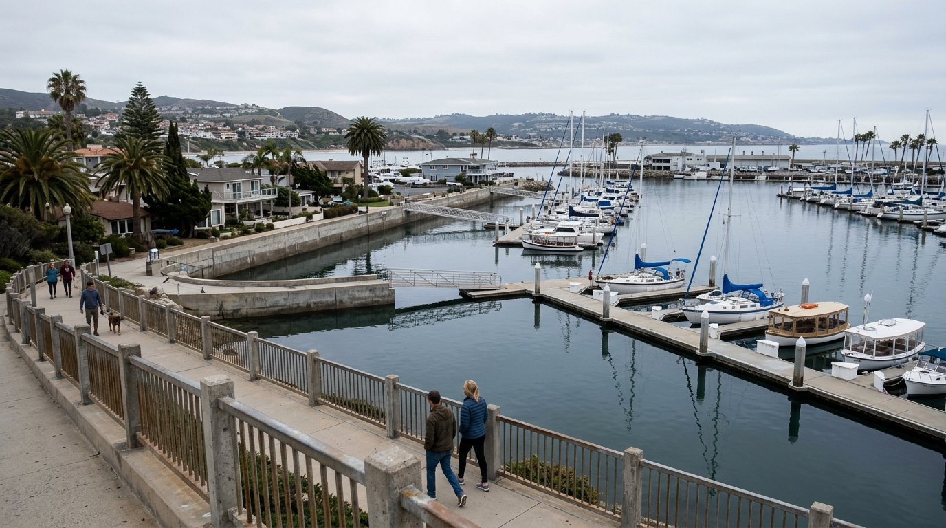
Orange County king tides in 2026–27 will draw attention to beaches, harbors and waterfront paths as the California coast experiences some of its highest predicted tides. The California Coastal Commission lists statewide king-tide periods of November 24–26, December 23–25, 2026, and January 21–22, 2027. Local timing and actual water heights differ by location, and surf or storms can make conditions more dangerous than the predicted astronomical tide alone suggests.
This guide is for visitors, residents and photographers who want to observe coastal change without taking unnecessary risks. It explains what king tides mean, how to find local tide predictions and how to build an Orange County outing. It is not a forecast that any beach will flood or that a particular path will be closed. Check official local notices immediately before your visit.
What the 2026–27 king-tide dates mean
King tides are exceptionally high predicted tides associated with the alignment of astronomical forces. They provide a visible example of how shorelines, drainage systems and waterfront infrastructure respond to elevated water. The statewide dates identify general periods, not a single identical high-tide hour for Newport Beach, Huntington Beach, Laguna Beach and San Clemente. Check a nearby official tide station for the local peak.
Real coastal water levels also reflect weather, waves, pressure and other factors. A high predicted tide during calm weather is not the same experience as one accompanied by large surf. Avoid saying a specific street will flood based on statewide dates alone. Use current advisories from local authorities and the National Weather Service when hazardous conditions develop.
Choose a viewpoint that does not require entering the surf
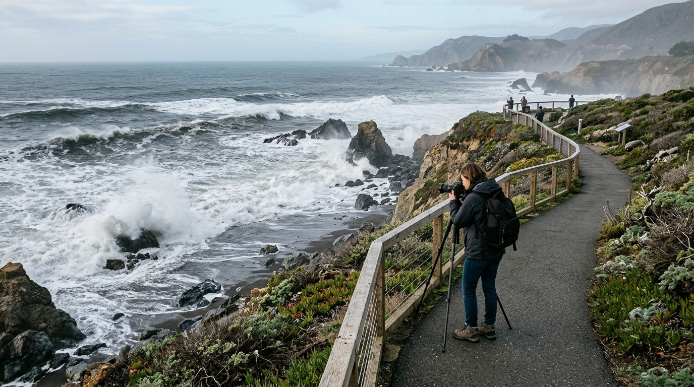
Orange County offers elevated coastal paths, harbor overlooks and public viewpoints that can be appropriate for observation when open. Choose a place with legal access, railings or substantial separation from the water. Bluff edges and narrow rock shelves are poor places to photograph unusually high tides, especially if waves can arrive unexpectedly. Check local park and beach restrictions before traveling.
For families, a wide paved overlook can be more rewarding than a dramatic tidepool edge. Explain to children why the goal is to watch the shoreline from a safe place. Keep dogs away from surf zones and do not step around barriers. Your photo will still tell a compelling story from a respectful distance.
For additional context, see our related guide: Crystal Cove State Park tidepool and parking guide.
Separate king tides from low-tide tidepool outings
People sometimes confuse king tides with the best time to explore tidepools. A king tide refers to an unusually high water level; some tidal cycles also feature pronounced low tides, but the safe window depends on exact local predictions and surf conditions. Never walk onto rocky platforms simply because a phone app shows a negative tide. Verify wave conditions and the return route first.
At a place such as Crystal Cove, rules for parking, access points and protected marine life apply regardless of tidal curiosity. Stay off fragile organisms, avoid collecting wildlife and leave rocks where they are. If waves are breaking across the route, abandon the tidepool plan. Safety and habitat protection take precedence over a photograph.
Use the right official sources
The California Coastal Commission’s King Tides Project provides the statewide event calendar and public photo-participation guidance. NOAA tide predictions can help identify local predicted high-water times. The National Weather Service and local city or county agencies provide hazard information that may reflect surf, storm impacts and temporary closures. Each source answers a different question, so use them together.
Record the tide-station location and prediction time, noting that predictions are not real-time measurements of every beach. Check conditions close to departure, not solely when making the plan weeks ahead. If your intended sidewalk or access point is closed, do not treat another nearby entrance as a guaranteed workaround.
Build a one-hour observation plan
Arrive with time to locate permitted parking and walk to a safe viewpoint before the predicted high tide. Bring a jacket, camera, binoculars if useful and footwear suited to damp pavement. Observe changes along seawalls, harbor edges and beach width without entering flooded spaces. If conditions are safe, take photographs from the same position at two different tide stages to make a clearer comparison.
Keep the itinerary short rather than standing near the water for a long stretch in worsening weather. Follow local parking rules and avoid blocking access for residents or emergency services. After viewing, move inland for a meal or cultural stop. The trip can be educational even when the water looks less dramatic than expected.
Photograph the coast responsibly
The King Tides Project invites public photographs to document shoreline conditions. A useful image shows a recognizable fixed reference point and includes accurate date, time and location information. Avoid manipulating the scene to exaggerate flood depth or implying that a normal puddle proves a major tidal impact. If you submit a picture, follow project instructions and privacy considerations.
Do not step into a flooded roadway or onto a slippery sea wall to recreate a viral image. Keep a safe distance from large waves and never turn your back to active surf. A clear photo of infrastructure from public ground can be more informative than a risky close-up at the waterline.
Accessibility and travel planning matter
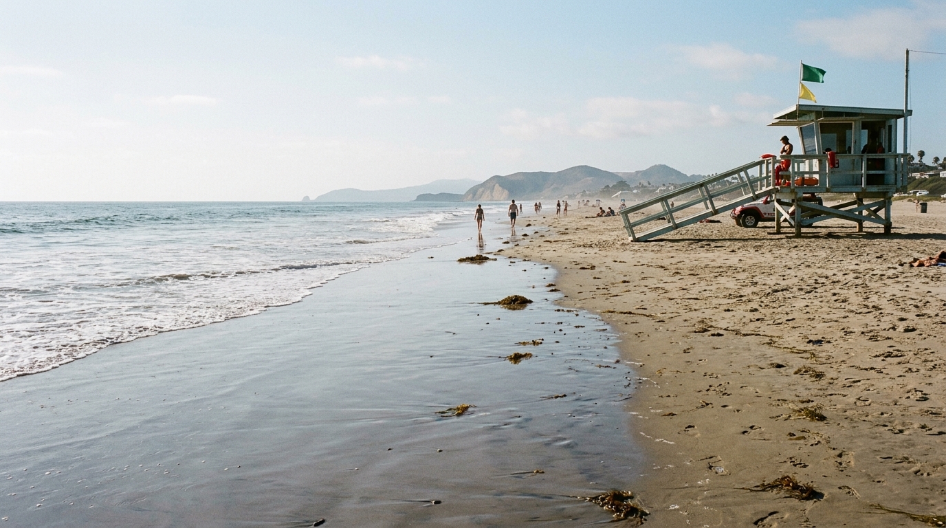
A public coastal path may have grades, stairs or temporary surface problems that affect visitors with limited mobility. Research accessible parking and viewpoint options in advance; do not assume every bluff trail is suitable for every user. Plan restrooms and transportation separately, since busy coastal areas can have parking restrictions. If a high tide causes standing water on a route, choose a drier alternative.
Visitors using rideshare or public transit should check return schedules and pickup points. If a local agency posts a high-surf warning, moving to another exposed beach does not automatically make the day safe. Have an indoor alternative close by to avoid unnecessary last-minute driving.
For authoritative details and any subsequent updates, consult California Coastal Commission King Tides Project. Official notices take precedence over a general guide.
Understand the wider coastal story
King-tide photographs help illustrate how communities may experience higher water levels as sea level rises. They are observations, not a complete measurement of long-term climate change by themselves. Scientists evaluate many years of tide gauges, weather and other evidence. Readers should avoid concluding that one unusually high tide proves a permanent change at a specific beach.
The photographs can still be useful for public discussion about drainage, vulnerable roads, coastal access and infrastructure. When sharing images, label them with precise context. Respect residents, businesses and public workers dealing with any localized impacts. Responsible documentation is informative rather than sensational.
What to do if water reaches the route
Do not walk or drive through unknown standing water near the coast. Depth, current, debris or electrical hazards may be difficult to judge. Move away from surf and follow official closure or evacuation instructions. Contact emergency services for immediate threats rather than posting location guesses on social media. Conditions may change while you are observing, so keep a clear route back to higher ground.
Check the predicted next tide and the latest weather advisory before returning. If the path remains closed, use an officially designated alternative or postpone the outing. The goal is to observe a seasonal coastal event, not to test how close you can approach hazardous water.
The Orange County king tides of late 2026 and January 2027 offer a useful chance to observe the coastline and learn how water levels affect familiar places. The best visit begins with the statewide dates, local tide predictions and a safe elevated viewpoint. Conditions can be striking without requiring access to the water’s edge.
Follow the California Coastal Commission’s project and local agency updates, and photograph only from permitted safe locations. A well-documented, lower-risk observation contributes more than a dramatic image that puts people or sensitive coastal habitat in danger.